
Place the famous name in its geographic setting
The Cape of Good Hope is closely linked with European voyages around southern Africa, but that is one part of its history. SANParks connects Bartolomeu Dias and the name Cape of Storms with 1488, and the later name Cape of Good Hope with Portugal's King João II. These are events in the history of European navigation, not the first human presence in the region.
The geographic setting is just as important. Cape Point and the Cape of Good Hope are different marked locations. Neither is Africa's southernmost point, which is Cape Agulhas. The Cape Point guide introduces the lighthouse area, while the main overview helps you plan the distinct stops rather than treating every cape name as the same place.
Admission for an independent visit
The Cape-and-Boulders ticket package can support a self-organised visit to the places described in the history; it does not establish a guided history tour.
Hand-picked tours, booked through GetYourGuide. Prices are indicative starting prices in US dollars (as of October 2026). Tap a tour for live availability and the current price in your currency.
Compare Cape Peninsula tours
Compare routes from Cape Town, with park entry and other inclusions checked for each option.
European navigation and a much longer human story
The association with Dias helps explain why this coast appears so prominently in accounts of sea routes. Keeping the date and the naming story is useful, but describing the place as an empty territory discovered by a visiting navigator would erase its wider human context. The visit should leave room for more than the viewpoint photograph and a single line about a voyage.
SANParks has highlighted the Early Sapiens Behaviour exhibition at Buffelsfontein as part of the area's human-settlement story. That gives visitors a separate historical strand to consider alongside maritime names. It does not justify inventing a full sequence of settlement dates or naming communities without evidence. Use the exhibition as a specific place to deepen the context rather than assuming that the European naming account explains the whole past.
The lighthouse story and the dangerous coastline
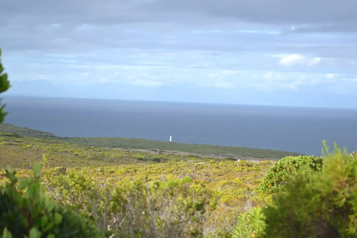
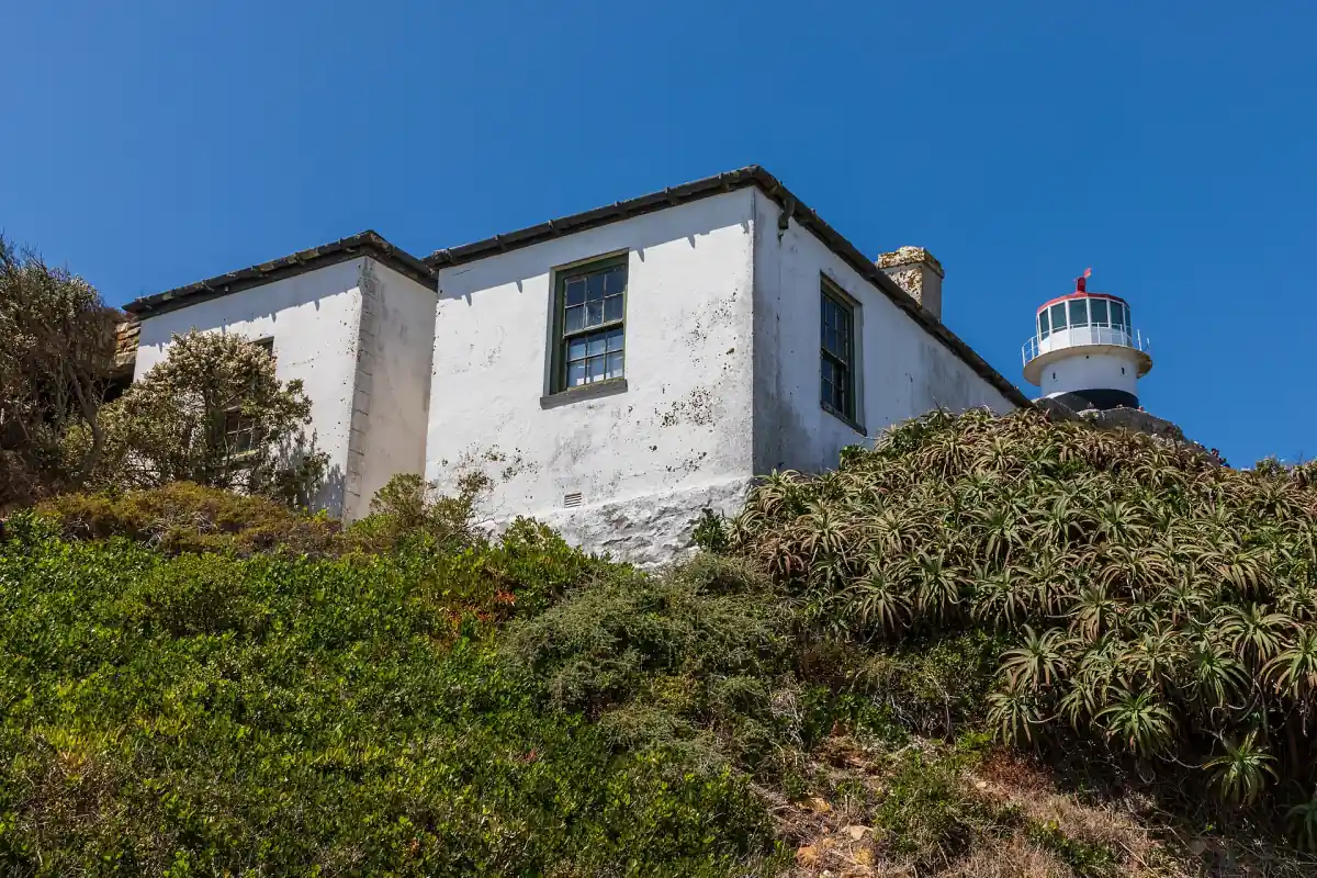
The old lighthouse belongs to the nineteenth-century navigation story. A later operator account connects the 1911 Lusitania wreck with a lower new lighthouse built in 1919, below the cloud line. The location of a light matters as well as its height: a famous tower on a high headland and a lower operational light are different parts of the coastal setting.
Plan to understand the lighthouse surroundings without assuming that every building is open for an interior tour. The Flying Dutchman ends at a viewpoint below the old lighthouse, and further access remains a separate question. The funicular page compares the railway and footpath. A ticket referring generally to lighthouse access does not by itself establish entry into technical rooms or a guided visit inside a tower.
Cape Point, the Cape of Good Hope and the oceans
The reserve's visitor map marks Cape Point and the Cape of Good Hope separately. That distinction matters on the ground: visiting one named stop should not be presented as automatically visiting the other. It also helps when reading a tour programme, because the time allocated to a general peninsula outing is shared among several places. Check the actual stops on the tour comparison before choosing the day.
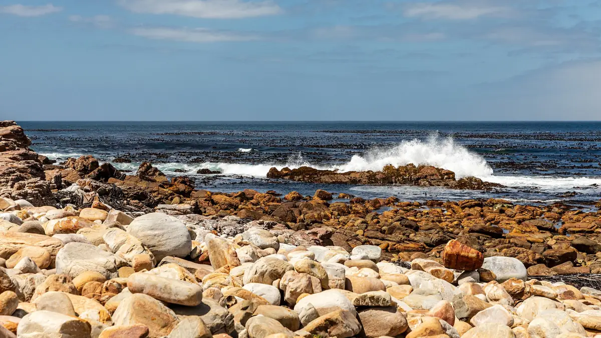
Nor does a viewpoint establish a fixed visible meeting line between two oceans. The geographic ocean boundary is associated with Cape Agulhas in the park map, not a guaranteed stripe of water at Cape Point. Enjoy the coastal views without relying on a photograph to prove an exact current boundary. If you add a coastal path, use the walking guide and follow the current route instructions. Historical interest does not remove the need to plan the weather, gate times and safe return.
Questions before your visit
Who is linked to the Cape of Storms name?
SANParks links Bartolomeu Dias and Cape of Storms with 1488. It associates the later Cape of Good Hope name with Portugal’s King João II. This is a European maritime naming account, not a claim that people first occupied the area at that moment.
Is the Cape of Good Hope the southern tip of Africa?
No. Cape Agulhas is Africa’s southernmost point. Cape Point and the Cape of Good Hope are separate landmarks in the southern Cape Peninsula, and they should not be treated as two names for the same photographic stop.
Can I see an exact line where the oceans meet?
No fixed visible meeting line is established for Cape Point. The park map associates the geographic ocean boundary with Cape Agulhas. A striking colour or current pattern in a photograph should not become a guaranteed two-ocean boundary for your visit.
Can I go inside both lighthouses?
The available visit information does not establish an interior visit to both towers. The old lighthouse area, the railway viewpoint and technical lighthouse installations are different things. Follow the open routes and read the actual service list for any booked activity.